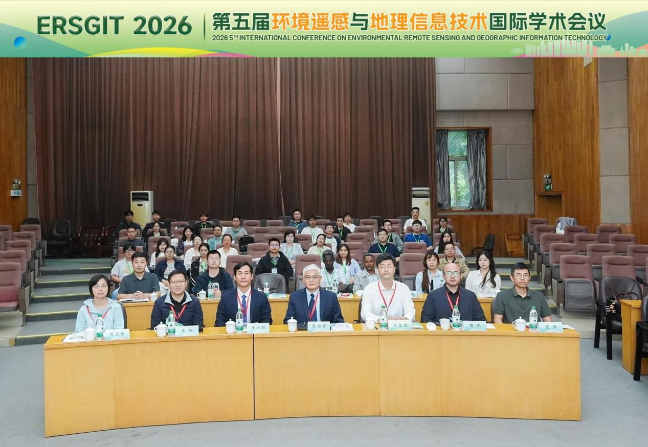
From September 28 to 30, 2026, the 5th International Conference on Environmental Remote Sensing and Geographic Information Technology (ERSGIT 2026) was successfully held at Nanjing University of Information Science and Technology (NUIST). The conference was hosted by the Committee on Remote Sensing and Spatiotemporal Intelligence (RSSI) of the International Association of Natural Resources (iAONR), organized by NUIST, and co-organized by Jiangsu Ocean University, China University of Mining and Technology, Jiangsu Normal University, and the School of Surveying and Geomatics at Shandong Jianzhu University, with media support provided by MDPI.
As a major international academic event in the field of environmental remote sensing and geographic information technology, the conference brought together experts and scholars from universities, research institutions, and enterprises around the world, who engaged in in-depth discussions on cutting-edge technologies through a combination of in-person and online formats.
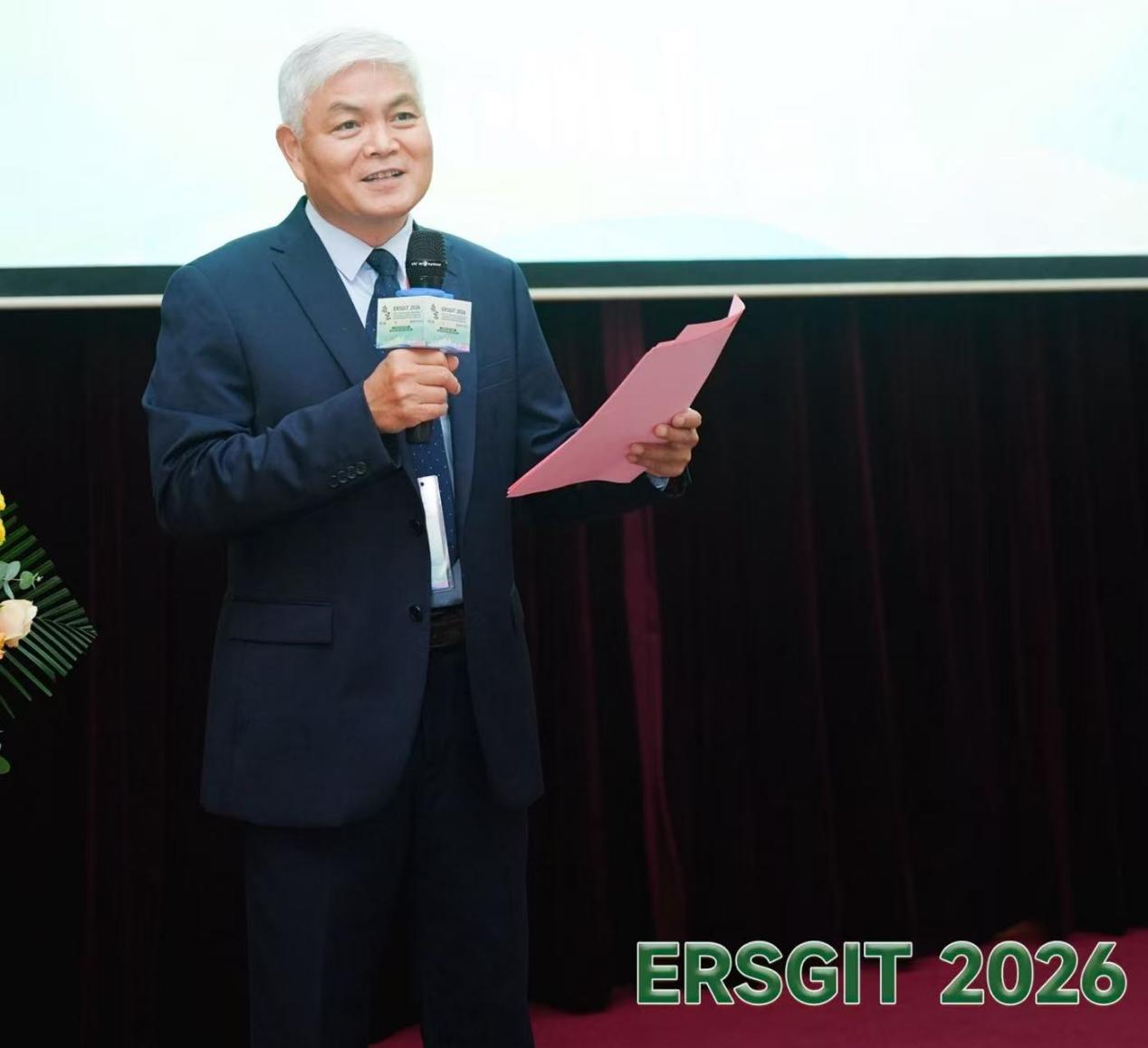
On the morning of September 29, the conference officially opened in Lecture Hall N102, Changwang Building, NUIST. The opening ceremony was chaired by Prof. Baozhang Chen, Conference Chair and Research Professor at the Institute of Geographic Sciences and Natural Resources Research (IGSNRR), Chinese Academy of Sciences.
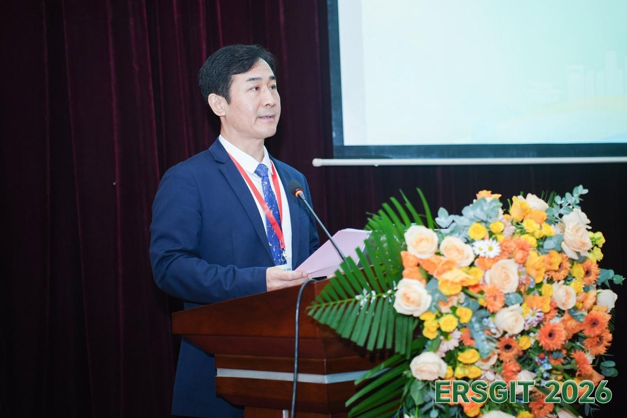
Daquan Zhang (Professor-level Senior Engineer), Deputy Director of the Langfang Comprehensive Survey Center of Natural Resources, China Geological Survey, attended and delivered the opening address. On behalf of the Langfang Center, he extended warm congratulations on the opening of the conference and sincere thanks to the experts, scholars, and organizing units from China and abroad. He noted that remote sensing and geographic information technology are common and critical tools underpinning the survey, monitoring, assessment, and management of natural resources, and expressed hope that the conference would generate more practical technical solutions and help scientific research better serve national natural resource management and ecological civilization development.
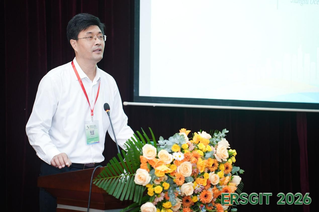
Prof. Jialong Sun, Dean of the School of Marine Technology and Surveying at Jiangsu Ocean University and representative of the co-organizing institutions, then delivered remarks congratulating the conference on its opening. He introduced the school's disciplinary strengths and talent development in marine technology and surveying, and expressed hope that the conference would serve as an opportunity to further strengthen exchange and collaboration with partner institutions and jointly advance innovative applications of remote sensing and geographic information technology in the marine domain.
The conference featured four plenary keynote lectures and two parallel oral-presentation sessions. The keynote session was led by four distinguished scholars:
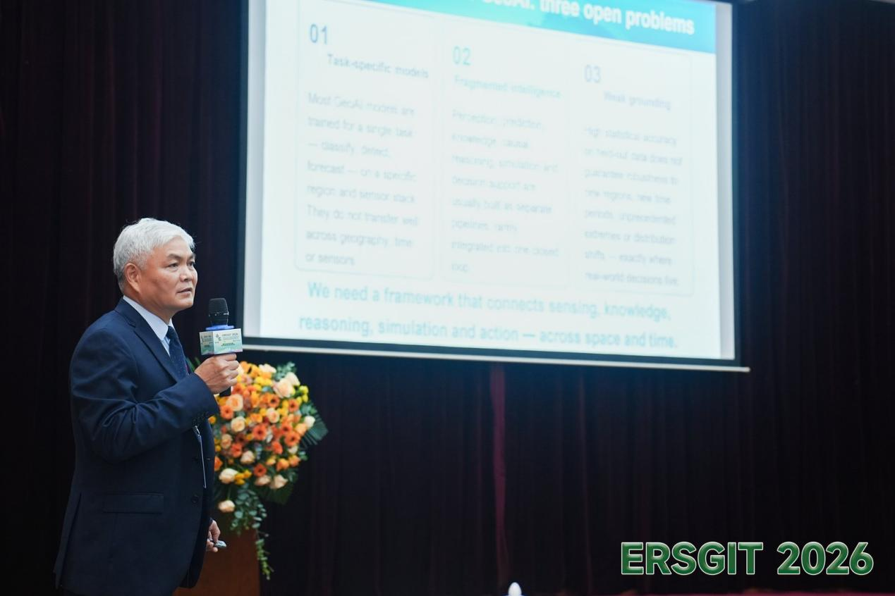
Prof. Baozhang Chen (Institute of Geographic Sciences and Natural Resources Research, Chinese Academy of Sciences), a member of the CAS Hundred Talents Program and Vice Executive President of the International Association of Natural Resources, spoke on “From GeoAI to Spatiotemporal Intelligence: Toward Intelligence for a Dynamic World,” outlining a scientific transition path from Geospatial Artificial Intelligence (GeoAI) to Spatiotemporal Intelligence (STI). He explained that STI is an emerging interdisciplinary field oriented toward a dynamic world, integrating remote sensing, GIS, artificial intelligence, causal inference, and digital twins to build a composable framework spanning perception, representation, understanding, reasoning, prediction, simulation, and response, and used examples such as carbon neutrality and climate intelligence to demonstrate STI's broad applicability across environmental, urban, disaster, and agricultural domains.
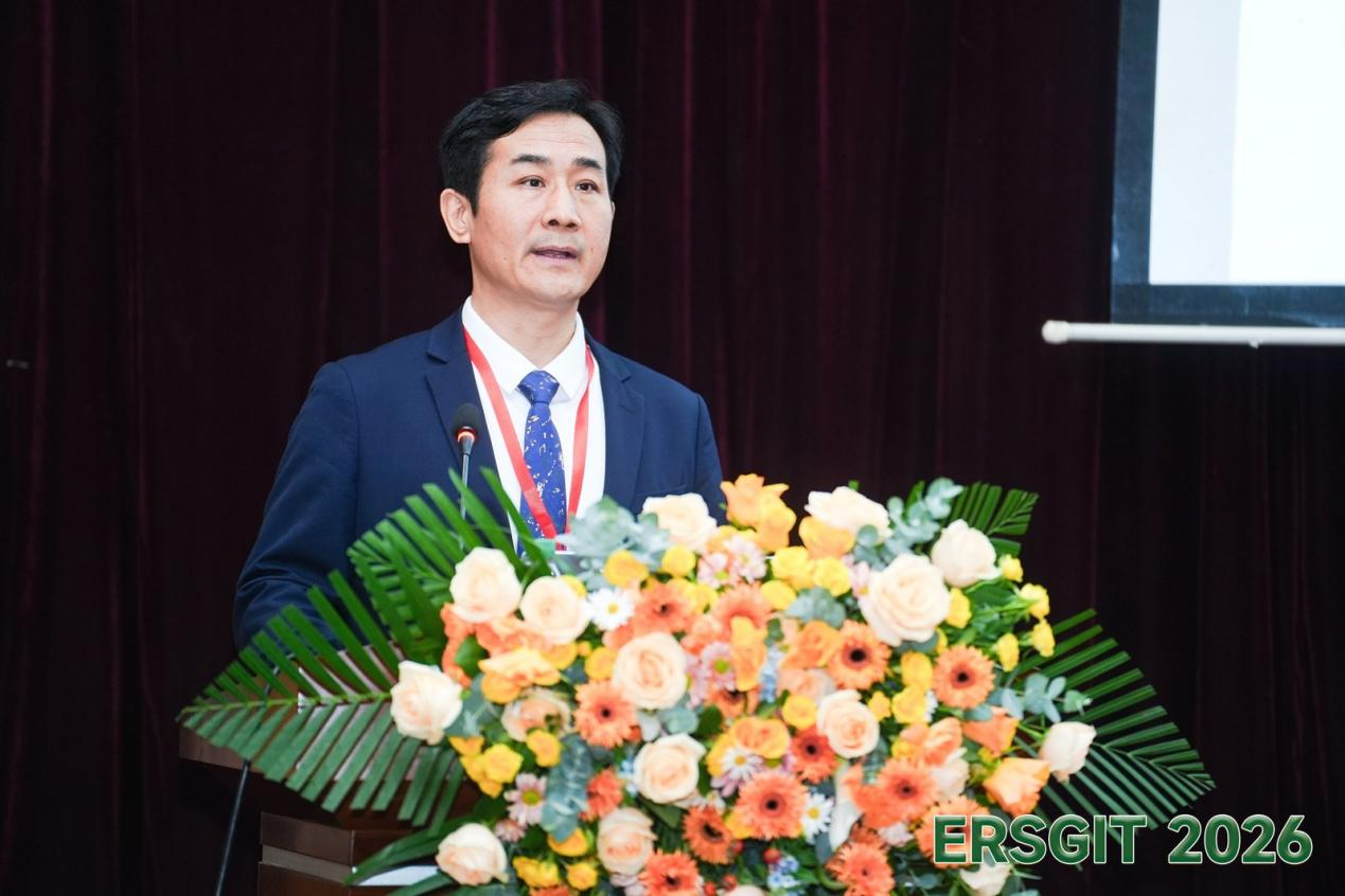
Daquan Zhang, Professor-level Senior Engineer (Langfang Comprehensive Survey Center of Natural Resources, China Geological Survey), presented on “An Integrated Space-Air-Ground Survey and Assessment Technology System for Coal Gangue Resources and Environment Based on Multi-Source Data Fusion.” Addressing the difficulty of using a single conventional method to jointly characterize the volume, spatial distribution, internal structure, and environmental risk of coal gangue piles, he described an integrated space-air-ground technology system combining geological survey, multi-source remote sensing, ground geophysical exploration, and GIS spatial analysis. This system forms a full-chain technical workflow of “data acquisition — collaborative processing — 3D modeling — resource estimation — comprehensive assessment,” offering a replicable and scalable technical solution for the resource utilization of mine solid waste and the development of green mines.
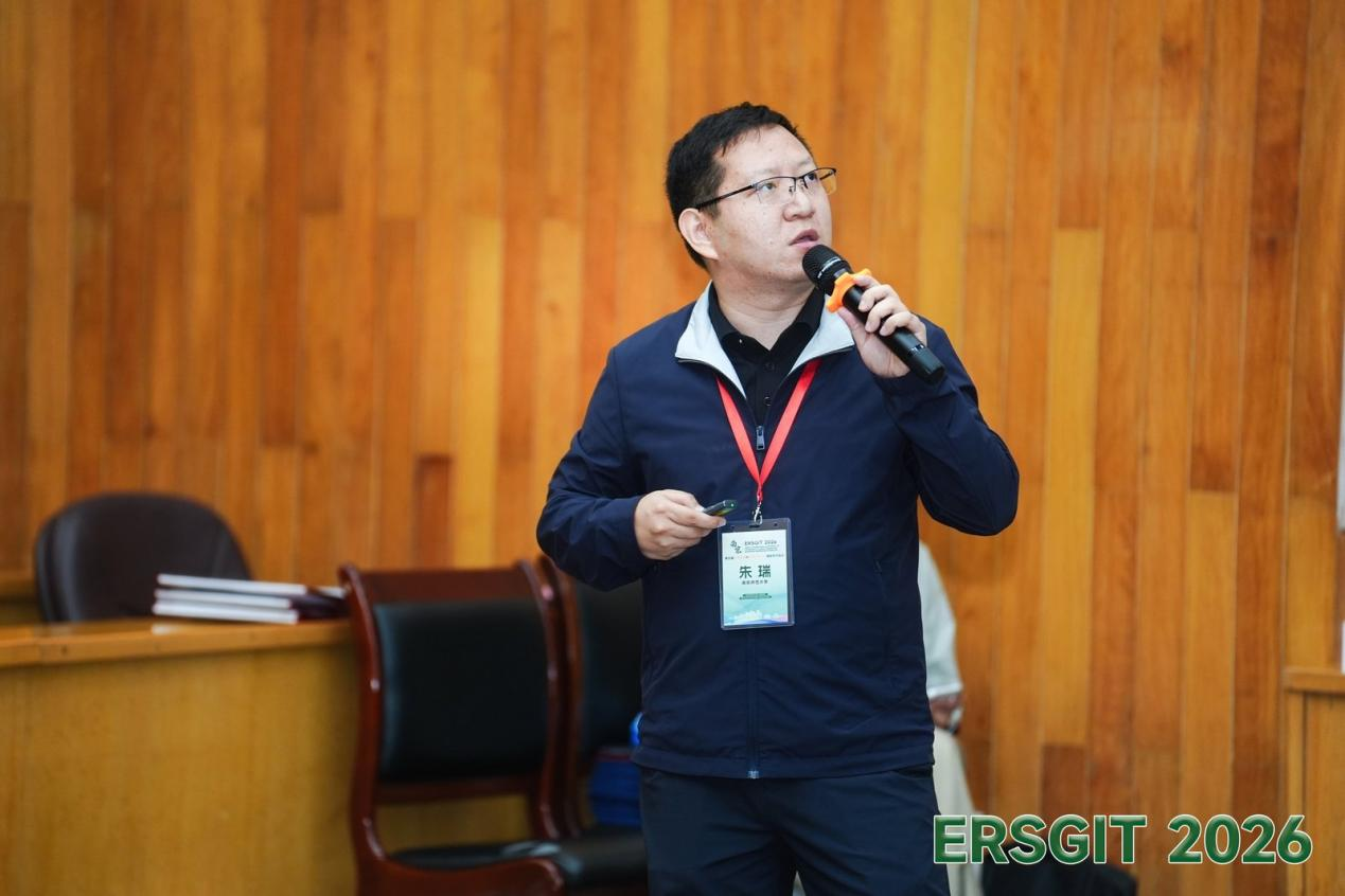
Prof. Rui Zhu (Nanjing Normal University), a National-level Young Talent and Jiangsu Province Distinguished Professor, spoke on “Energy Geography: A New Paradigm for Geographic Research in the 21st Century,” proposing an energy geography framework that integrates physical geography, human geography, and information geography. Using “solar-powered cities” as an example, he presented deep-learning-based construction of high-resolution 3D urban surface data, 3D solar radiation simulation, and a spatial optimization method coupling real electricity demand, land-use constraints, and life-cycle economics. Through two case studies — a solar charging network for shared electric scooters and rooftop photovoltaic charging for electric vehicles — he demonstrated the value of energy geography in driving urban energy transition.
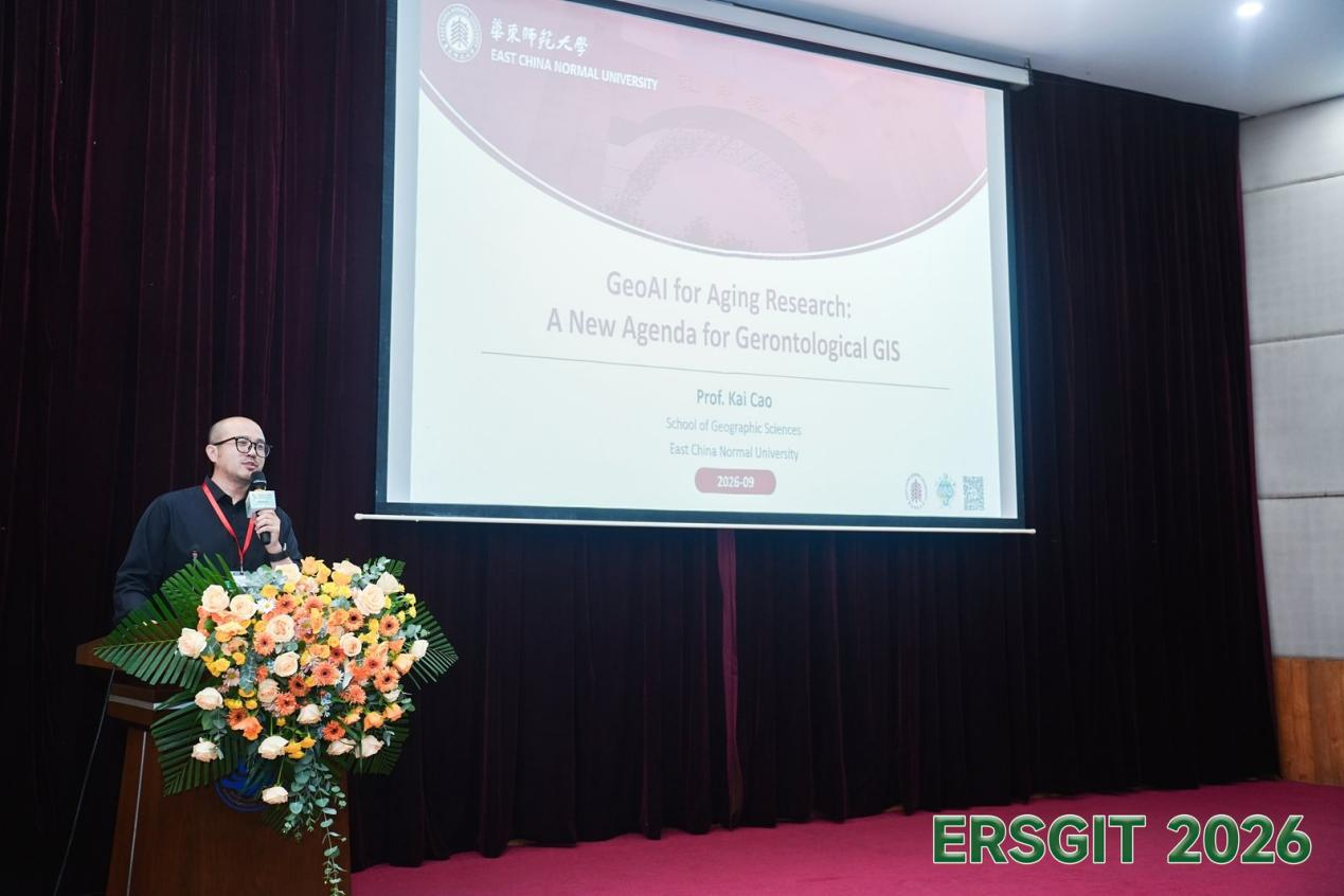
Prof. Kai Cao (East China Normal University), a National-level Young Talent and Zijiang Outstanding Young Scholar, spoke on “GeoAI for Aging Research: A New Agenda for Gerontological GIS,” introducing the emerging frontier of GeoAI for Aging Research. He proposed that aging-related GIS research should move beyond traditional mapping and description toward prediction, explanation, and optimization, and discussed future research directions and ethical considerations through case studies in three core areas.
The four speakers approached the field from four distinct angles — spatiotemporal intelligence, integrated space-air-ground survey, energy geography, and aging-related GIS — each bringing a distinctive research perspective. The collision of cutting-edge viewpoints from different fields offered everyone fresh ways of thinking about their own research problems. This was precisely the purpose of the keynote session: to expand the boundaries of environmental remote sensing and geographic information technology through cross-disciplinary dialogue.
Following the keynote session, an awards ceremony was held, presenting the Best Paper Award (to 3 recipients) and the Best Poster Award (to 3 recipients) in recognition of outstanding academic work in the paper review and poster presentation sessions.
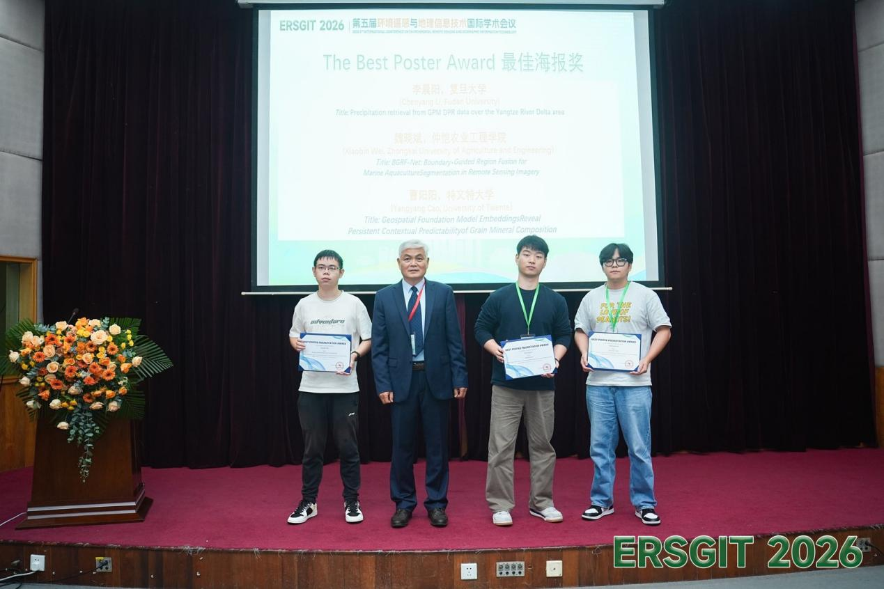
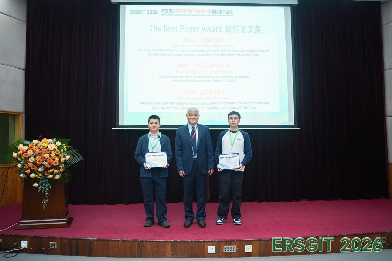
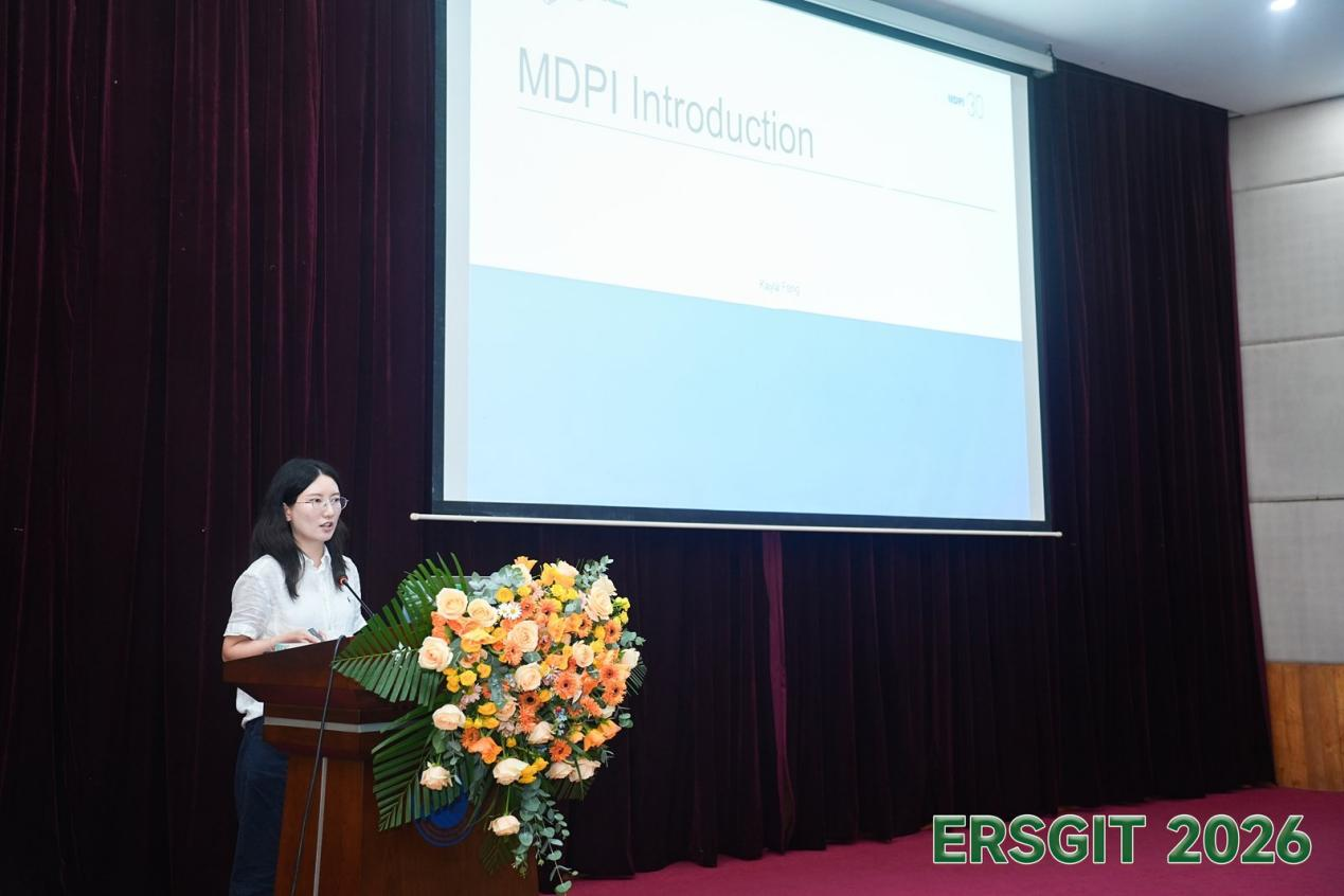
Ms. Kayla Feng, a representative of MDPI journals, the conference's media support partner, was invited to give a presentation on academic publishing. She provided a systematic introduction to MDPI's open-access publishing model and global academic service ecosystem, arguing that academic publishing should move from traditional processes toward an efficient, transparent, and standardized full-chain service. Drawing on aspects such as journal operations, the peer-review process, award schemes, and ethical safeguards, she discussed future trends in open-access publishing and directions for author services.
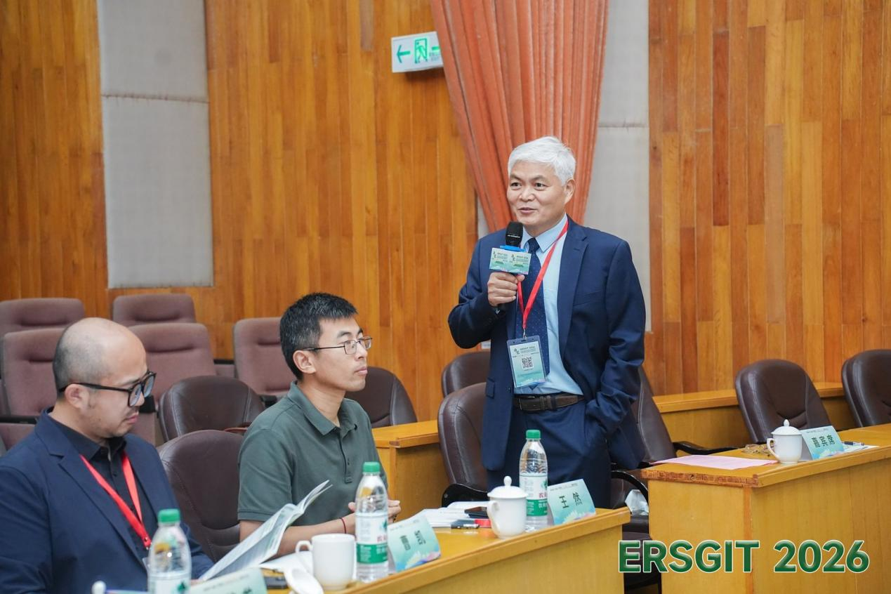
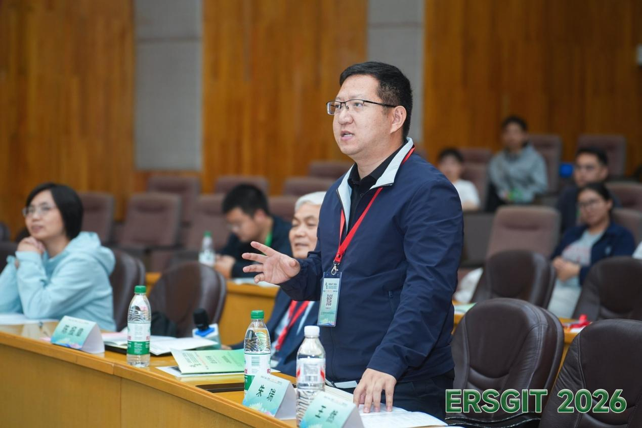
The oral presentation sessions took place in parallel on the afternoon of September 29. Session 1 was held in Lecture Hall N102, Changwang Building, NUIST, while Session 2 was conducted online. Prof. Baozhang Chen chaired Session 1 and, together with Prof. Rui Zhu of Nanjing Normal University and Prof. Yumin Chen of Wuhan University, served as a judge for the Best Oral Presentation Award.
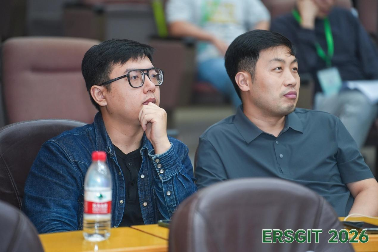
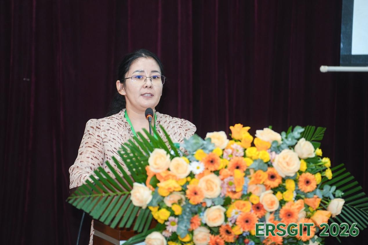
A total of 21 scholars gave oral presentations across the two parallel sessions, covering topics such as remote sensing science and technology, InSAR/radar remote sensing, hyperspectral/optical remote sensing, hydrology and water resources, water environment monitoring, ecology and global change, the carbon cycle, vegetation remote sensing, drought and climate, geology and hazards, structural geology, mining engineering, and pollutant transport. Discussion was lively in both sessions, reflecting a strong academic atmosphere.
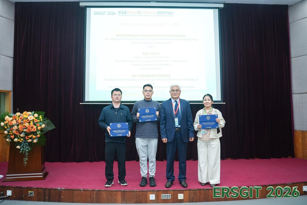
At the conclusion of the oral presentations in Session 1, the session judges selected the Best Oral Presentation Award (3 recipients), recognizing presenters' overall strength in academic communication, research innovation, and on-site performance.
The successful convening of this symposium fully showcased the latest research progress at the intersection of environmental remote sensing and geographic information technology, provided a high-level exchange platform for scholars from China and abroad, and effectively promoted multidisciplinary collaboration. The conference not only advanced the deep integration of theoretical research and engineering practice, but also injected new momentum into environmental monitoring, resource surveys, smart cities, and sustainable development. Going forward, the ERSGIT conference series will continue to drive sustained innovation and industrial application in environmental remote sensing and geographic information technology, contributing wisdom and strength to global environmental governance and sustainable development.